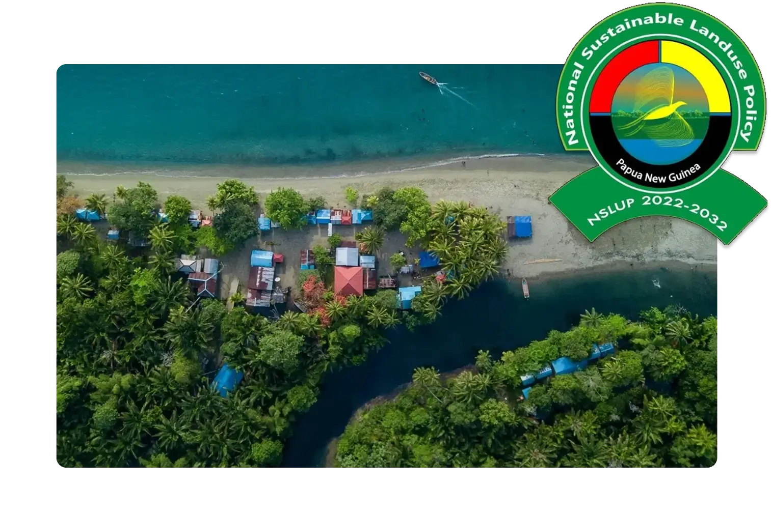
The creation of the National Land Use Information Management System (LUIMS) is a key policy objective of the National Sustainable Land Use Policy of Papua New Guinea 2022 - 2032 (NSLUP). It serves as a centralised platform, bringing together relevant land use data from various sectors.
The Department of Lands and Physical Planning (DLPP) oversees the maintenance and development of this system. We offer this service to ensure accurate and comprehensive spatial data is available for decision-making and planning purposes.
To learn more about the National Sustainable Land Use Policy of Papua New Guinea 2022 - 2032 download the full policy here.